


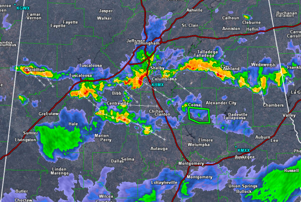
A line of thunderstorms is heading south across Central Alabama. Over the last hours, these storms have intensified some and could be producing some isolated damaging winds. The main threat continues to be frequent lightning and torrential rainfall.
Most of the line has pushed south on Interstate 20 with the exception of a cell in Pickens County, Intense storms are impacting portions of Tuscaloosa, Bibb, Shelby, Talladega, Clay, Randolph counties. Storms could reach severe limits briefly and are expected to last for the next few hours as they continue to move south.
Portions of Coosa County remain under a flash flood warning until 9:30 this evening. Additional flash flood warnings are likely to be issued as well. Remember to TURN AROUND, DON’T DROWN!!!



