* Waterspout sighted over the upper Monroe County Keys this morning and both NWS Miami and Key West issued a Tornado Warning. The spout was moving NW very rapidly at 45 mph. This is not unusual to move that fast as the spiral bands circulate around Ike.
* The upper part of Ike’s circulation is now easily seen on Key West Doppler and you can almost see the eye. Ike is moving westward and will pass well to the SW of Key West and most of the Keys.
SPOT REPORTS AT MID MORNING EDT
Miami…cloudy, wind east 29, gusts 35, heat index already 93 (Translation very soupy air)
Boca Chica Naval Air Station…cloudy, wind east 37, gusts 51
Key West International Airport…cloudy, wind east 30, gusts 39
Pulaski Shoal Light…wind east 41, gusts 51
Sand Key…wind ESE 52, gusts 58
Havana…steady rain, wind ene 39
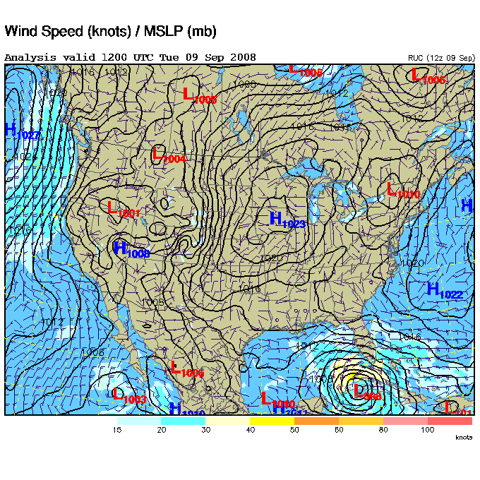
SURFACE MAP
(Note Ike easily seen in the lower right and note the fairly large blocking high pressure area over the interior of the USA.