


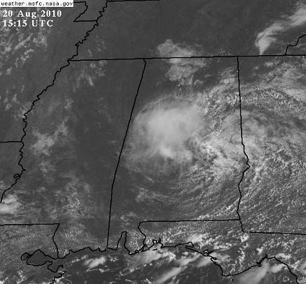
The remnant low of tropical depression 5 is still hanging on, today centered in east Alabama. It has brought a large amount of moisture into Alabama, causing a big increase in showers and thunderstorms this week. This has warmed the atmosphere at the upper levels a little, allowing the low to keep going. The cloudy skies leftover from this morning’s central Alabama storms will mainly dissipate this afternoon, but should keep temperatures low enough where the best chance of thunderstorms the rest of the day should be south of BHM.
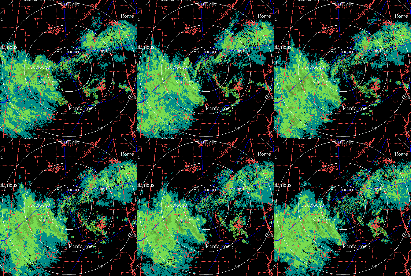
Right now, there is even some spiral banding going on in the light rain over west Alabama on radar. Take a look.
It may not start to dry out around here until Monday. That’s fine with me.



