


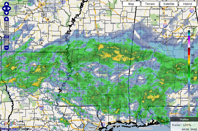
The NWS composite radar image shows rain all the way back through Mississippi and Louisiana into eastern Texas.
The rain is finally edging more northward now, fortunately late enough to prevent any icing problems, although we will continue to monitor East Alabama, where dewpoints remain low.
Temperatures are edging up across Central Alabama this hour. It’s 43F at Tuscaloosa and 40F at Birmingham and Calera. Wet bulb temperatures have edged above freezing in these areas…eliminating the threat of icing from any precipitation that falls.
To the east, those wet bulb temperatures are still right around 32F at Gadsden and Anniston where the air temperatures are 37F and 40F respectively.
There could still be a little sleet on the front end of the rain north of a line from Eutaw to Calera to Auburn this morning.
Periods of rain will be the rule through the day and into the overnight. Temperatures will rise to and then hover in the lower 40s.



