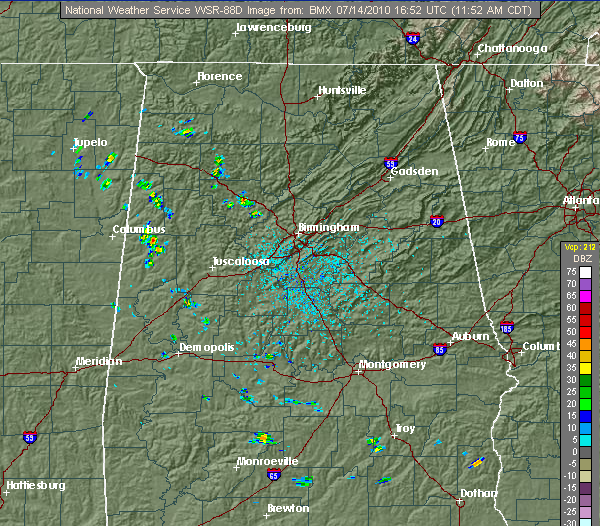
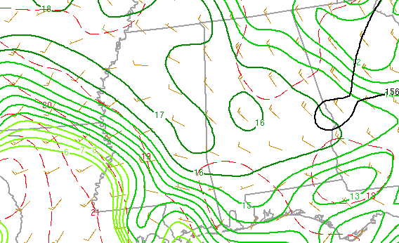
The atmosphere is not quite as unstable today as it was yesterday, with upper-level temperatures a bit warmer. However, it is still unstable, and isolated thunderstorms are already developing in parts of west Alabama, right on the edge of the area of highest moisture. As afternoon heating continues, expect more of these to develop. But, like the past 2 days, some spots will get heavy rain, at least for a little while, and others will get none. The best chance of rain is west of I-65 and south of AL 157 (Florence – Moulton – Cullman road).

Published on: July 14, 2010 at 12:07 PM
Related Articles
June 30, 2026 at 5:41 AM
Hot Summer Weather; A Few Spotty Afternoon Storms
SUMMER HEAT: Afternoon highs will remain in the 90s across Alabama through the rest of the week, with triple digit heat index values during the afternoon hours. A “heat advisory” is in effect for the state. During the peak of … Continue reading →
READ MORE
June 22, 2026 at 5:35 AM
Strong Storms Possible Across Alabama Later Today
ACTIVE DAY: Some rain is falling across the northwest corner of Alabama early this morning… the rain is more widespread to the north over western and middle Tennessee. Showers and storms are likely over North Alabama by mid to late … Continue reading →
READ MORE

