


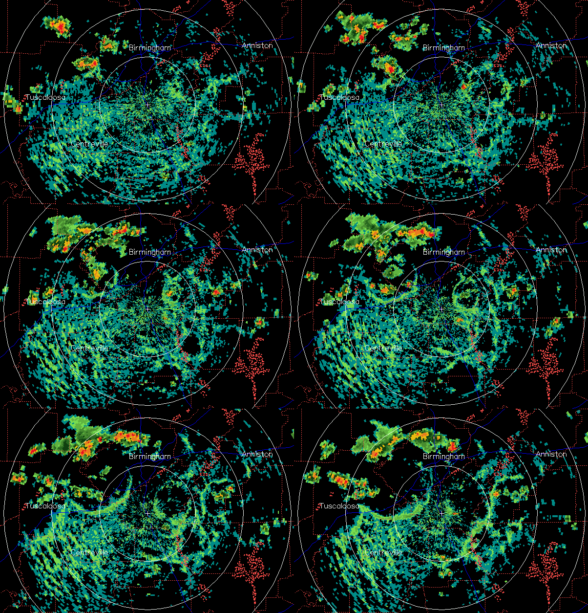
Some showers and thunderstorms have developed over north-central AL this afternoon. The heaviest one was near Trussville and Center Point at 355 pm.
Notice also the spreading circles of blue/green radar returns. These are the cool-air outflow boundaries produced by collapsing storms. Just like water poured on a table spreads out because it’s more dense than air, cool air spreads out because it is more dense than warm air. The radar returns are clouds, and sometimes bugs and dust, being lifted at the edge of the outflow.



