


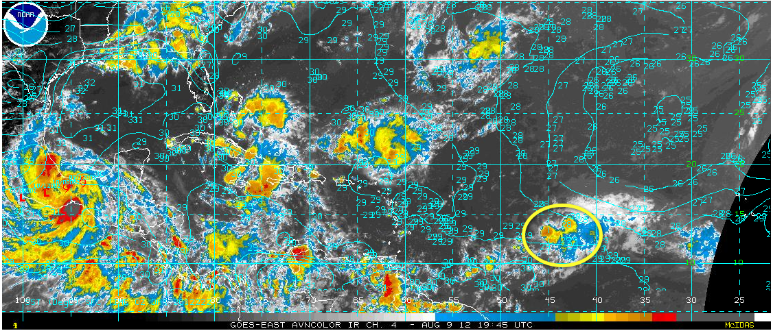
The seventh tropical depression of the Atlantic Season has formed some 1,200 miles east of the islands.
Sea surface temperatures are plenty warm to support strengthening, but there is considerable wind shear in its path.
It is expected to become Tropical Storm Gordon, but some of the guidance indicates it may weaken back to a wave.
It will pass over a buoy in a few hours that will shed some light on real intensity and Air Force recon will investigate the system in the morning.
The five day forecast has it south of Jamaica by Tuesday afternoon. It will bear watching as it comes into and across the Caribbean.


