


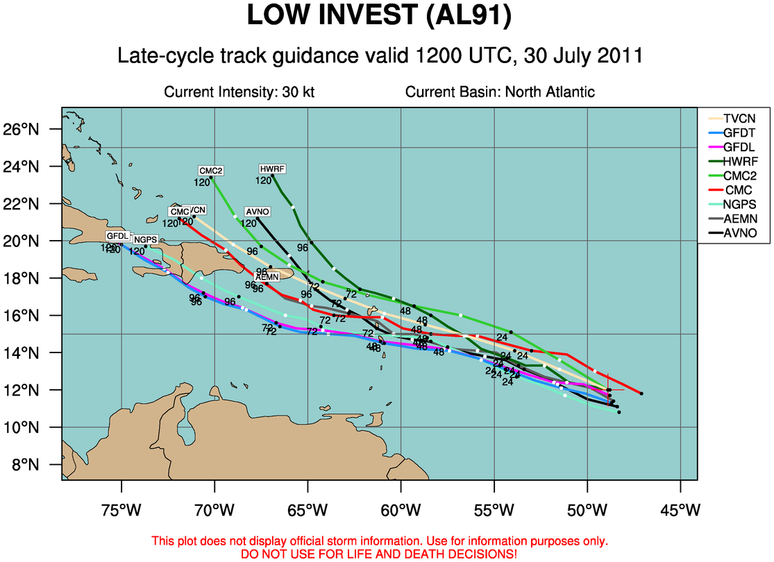
The strong tropical wave that is a couple of days east of the Lesser Antilles continues to become better organized and a tropical depression is imminent.
Meteorologists at the National Hurricane Center are monitoring the system on satellite and a Hurricane Hunter plane will investigate Sunday afternoon.
The system looks like it will move across the northeastern Caribbean starting Monday night, crossing Puerto Rico and exiting into the Atlantic on Wednesday in response to that trough forming over the eastern U.S.
The system will probably pause as the trough lifts out and high pressure builds back in to the north, but another trough later in the week should pick up the system and shunt it out to sea away from the U.S.
It will bear watching however.
The system should become a tropical storm, getting the name Emily by early in the week and could be a decent hurricane later this week east of the Bahamas.


