Convection has increased somewhat with the potential tropical system off the east coast of Florida this afternoon, click here for the latest radar loop.
As James mentions in the video (scroll down), the NAM and the GFS now bring this system across Florida and into the northern Gulf later this week. This could bring some wind and rain to the Gulf coast. One may not normally expect such a system to develop into a significant tropical storm or hurricane with its close proximity to land/etc., but Humberto developed very quickly last week. Water temps in the NE Gulf are warm (85 at Panama City Beach and the buoy 100 miles south of PAM, 86 off Appalchicola). So, it bears watching.
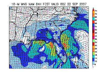
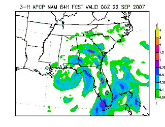
As fair as impacts around here, it’s hard to tell. But, take a look at the 84-hr forecast from NAM for winds and precip (valid Friday evening at 7 pm). It shows rain spreading into parts of Alabama, with lots of rain east of the system. With the models bringing this system west of Alabama (preliminary!), this could mean increased moisture and rain chances by the weekend. But, this is all hard to forecast right now with a tropical system involved.