


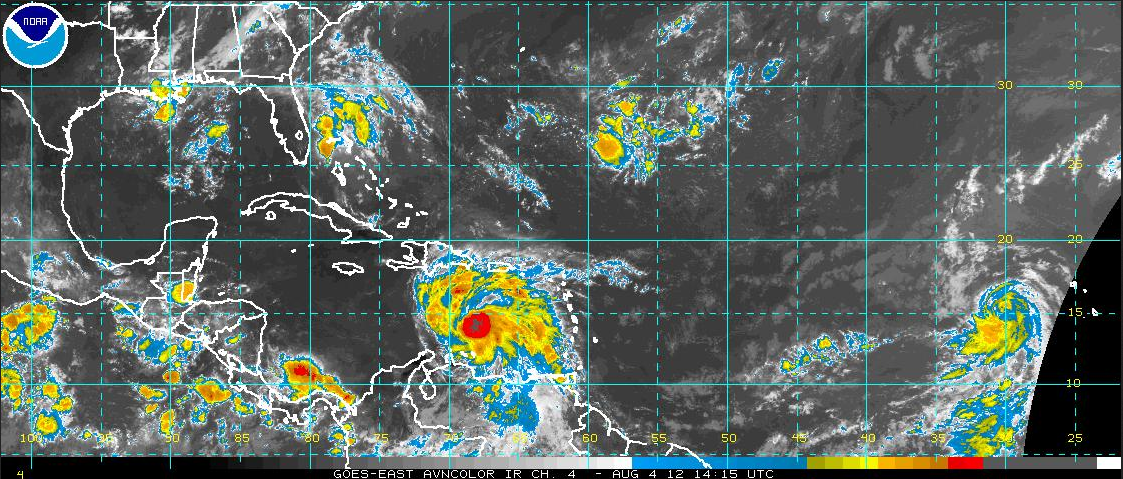
Tropical Storm Ernesto is moving rapidly west northwest across the Caribbean to the south southeast of the Dominican Republic this morning.
The Hurricane Hunters have been in the storm since before 7 a.m. They have noted that the central pressure has come up a bit, to 1008 millibars. The convection around the center did die down a bit this morning, but it was beginning to build again in the past couple of hours. The plane did find a flight level wind of 53 knots in the northeast quadrant of the storm just before 9:15. This would be consistent with a 50 mph tropical storm.
So, Ernesto is a little weaker, but that weakening trend is not expected to continue and it should become a hurricane over the western Caribbean in the next few days as wind shear gets lighter and the ocean waters have more heat content.
Then on top of Ernesto, the NHC named the depression in the eastern Atlantic around 6:30 this morning. It is Florence, now with top winds of 45 mph as of 10 a.m.
WHERE GOETH ERNIE AND FLO? Florence doesn’t seem to be much of a threat, with the thinking that the system might actually weaken. And indications are that in any case, it would pass north of the islands late next week.
As for Ernesto, the global models have all pulled into line for a more southerly track across the Caribbean and Yucatan and then into the Bay of Campeche ahead of a landfall in Mexico, well south of Texas. Only the GFDL and HWRF show any indication of a northwestward turn into the Central Gulf.
While that thought is troublesome, those models are considered to be outliers and it appears that the Central Gulf Coast is safe for now. But all interests along the Gulf Coast should pay attention to the latest forecasts on Ernesto.


