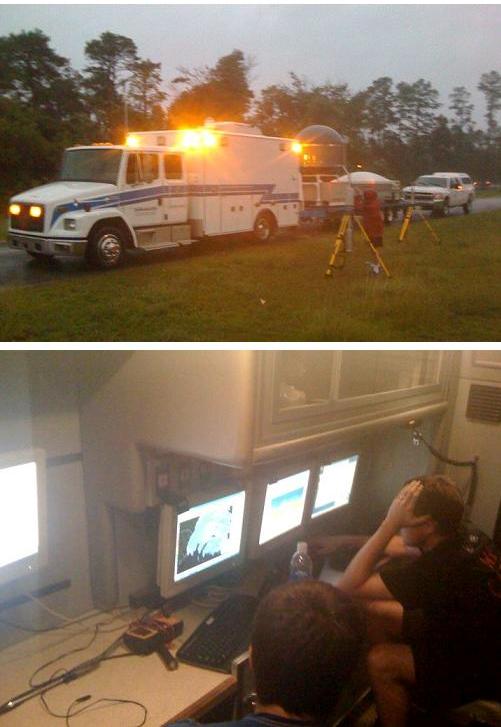
As we have been doing since 1998, UAH sent a team and instruments to Hurricane Irene. UAH has been taking the Mobile Integrated Profiling System (MIPS), containing a wind profiler (shows wind vs. height) and a Microwave Profiling Radiometer (estimates temperature vs. height), along with the M3V, a vehicle with weather instruments on top we can drive around and get temperature and, more importantly, true wind (using GPS and car-relative wind) over wide areas. The last few years we have been taking the MAX (Mobile Alabama X-band radar) with us on deployments, getting near NWS radars and allowing dual-Doppler coverage and full 3D wind fields.
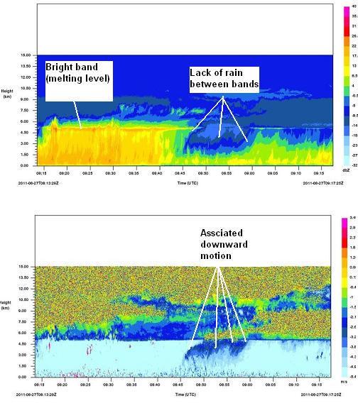
The latest addition is the X-band vertically-pointing cloud radar. It shows very high resolution reflectivity and updrafts/downdrafts in clouds and rain.
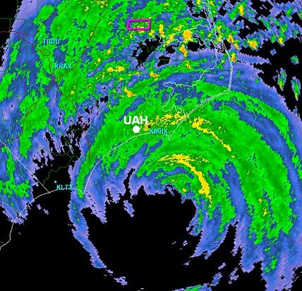
On this trip, 1 staff member and several grad students set up in Morehead City, NC, with only the MIPS, XPR, and M3V. The data will be analyzed in coming weeks, but here are some cool pictures.