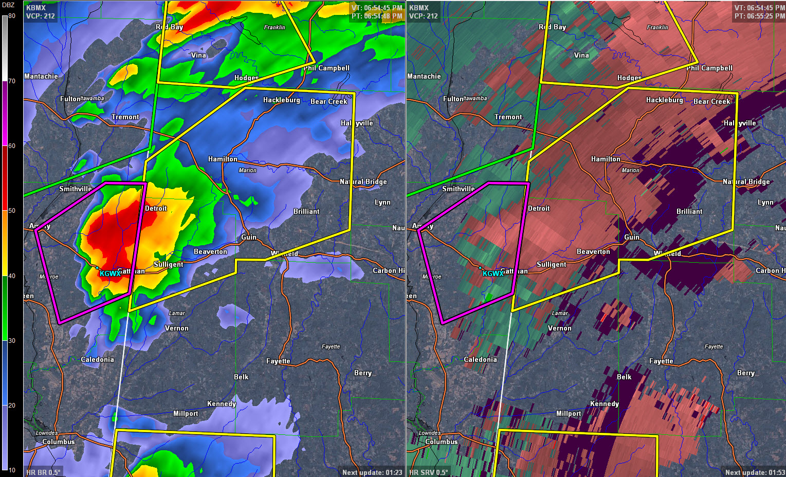
The NWS in Birmingham has issued a severe thunderstorm warning for parts of Lamar and Marion County, effective until 8 p.m.
A thunderstorm with a history of producing radar confirmed tornadoes is near Quincy in Monroe County, MS. It will pass very near the Columbus MS radar site. It will pass into northern Lamar County between Detroit and Sulligent. It will then pass near or between Beaverton, Hamilton and Guin in Marion County.
The storm could produce 60 mph winds and three quarter inch hail as well as a possible tornado. The storms are moving into an area of moderate instability but very high low level helicity, which is conducive for tornadoes.
So far, no reports of damage from Monroe County, Mississippi, which is great news.
NORTH ALABAMA TORNADO WATCH EXPANDED EAST
The NWS in Huntsville continues the tornado watch for Colbert, Franklin and Lauderdale Counties until 11:00 PM CST.
The watch has been expanded to include Cullman, DeKalb, Jackson, Lawrence, Limestone, Madison, Marshall and Morgan Counties till midnight.