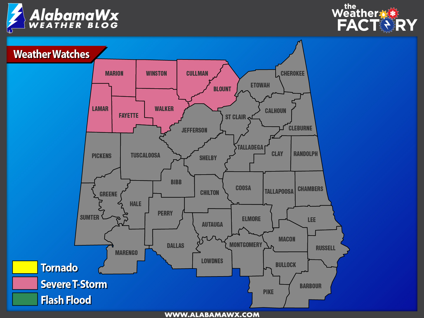
The NWS Birmingham has issued a Severe Thunderstorm Watch until 5:00 AM CST for the following counties in Central Alabama:
Marion, Winston, Cullman, Blount, Walker, Fayette, Lamar.


Published on: December 18, 2016 at 1:05 AM
The NWS Birmingham has issued a Severe Thunderstorm Watch until 5:00 AM CST for the following counties in Central Alabama:
Marion, Winston, Cullman, Blount, Walker, Fayette, Lamar.

 October 16, 2026 at 2:26 PM
ON THE MAP: A cold front is near I-59 (Tuscaloosa to Birmingham to Gadsden) at mid-afternoon; behind the front temperatures are in the upper 50s and low 60s with a very cool northwest wind. The front will move quickly southward, … Continue reading
READ MORE
 October 16, 2026 at 5:22 AM
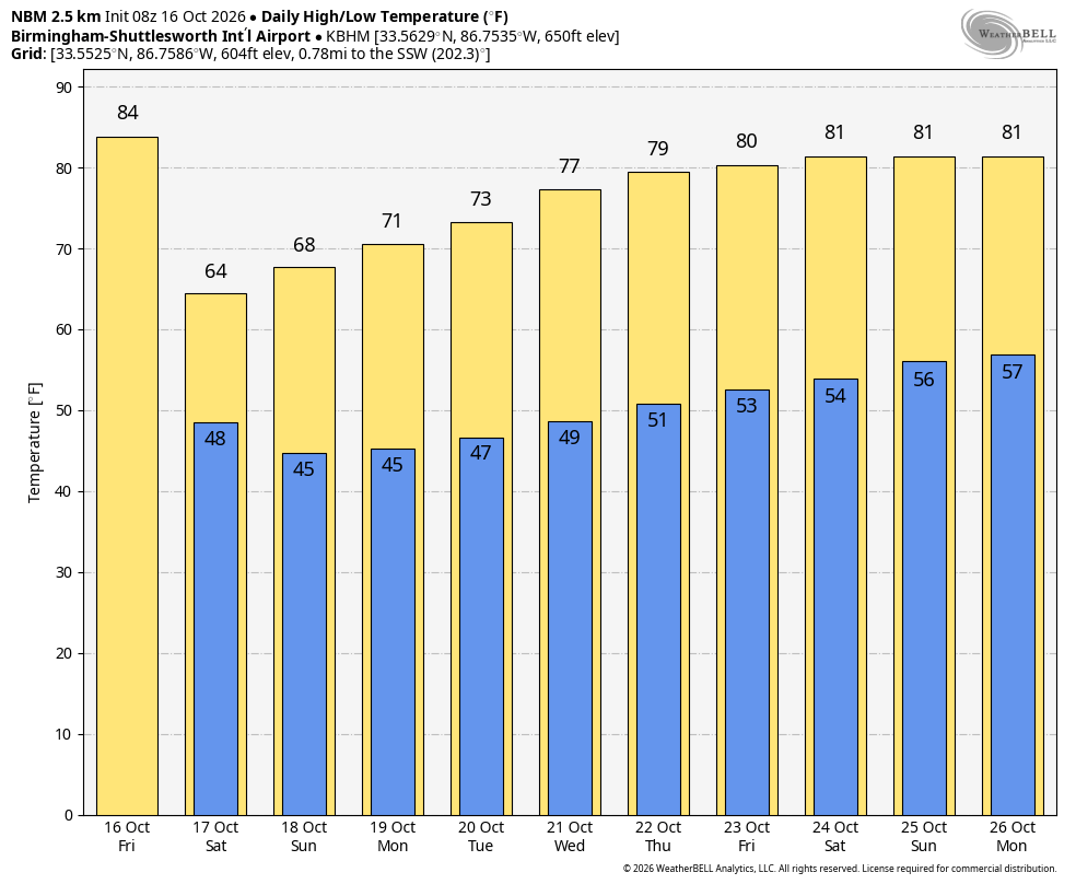
FRIDAY FRONT: A cold front will pass through Alabama later today, and it will set up a big thermal contrast. By mid to late afternoon, temperatures will range from the upper 60s across the Tennessee Valley to the upper 80s … Continue reading
READ MORE