


After a bit of a wet start to the day with some passing light showers that moved across the northern third of Alabama dropping generally less than a tenth of an inch to those locations that got rain, the sun came out and as you can see from the satellite image below, it has turned into a beautiful day for all but the Tennessee Valley counties of North Alabama. For that area, a few light showers continue to move steadily eastward across the area with much of those showers expected to end during the afternoon.
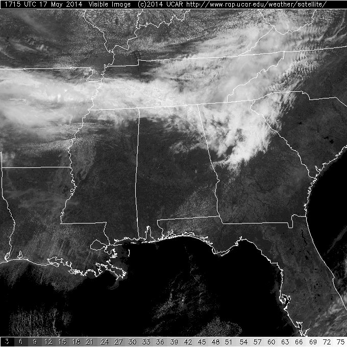
Visible Satellite Image Sat May 17, 2014
A rather deep trough for this time of year that brought cool weather for your Friday continues to maintain a weak hold on our weather pattern with temperatures only expected to reach the lower and middle 70s for most locations. Another short wave disturbance moving through the deep trough will bring another round of showers with perhaps some thunder to the area Sunday morning generally between about 4 am and noon. But the fast moving short wave should move quickly by us as the bigger trough also moves east and weakens its hold on the area. This will mean one more coolish day with highs again climbing into the lower and middle 70s.
After that, Katy bar the door as a huge upper ridge builds out of northern Mexico into the Southeast US bringing our temperatures up once again as we verge on 90-degree values Thursday, Friday, and into the weekend.
-Brian-



