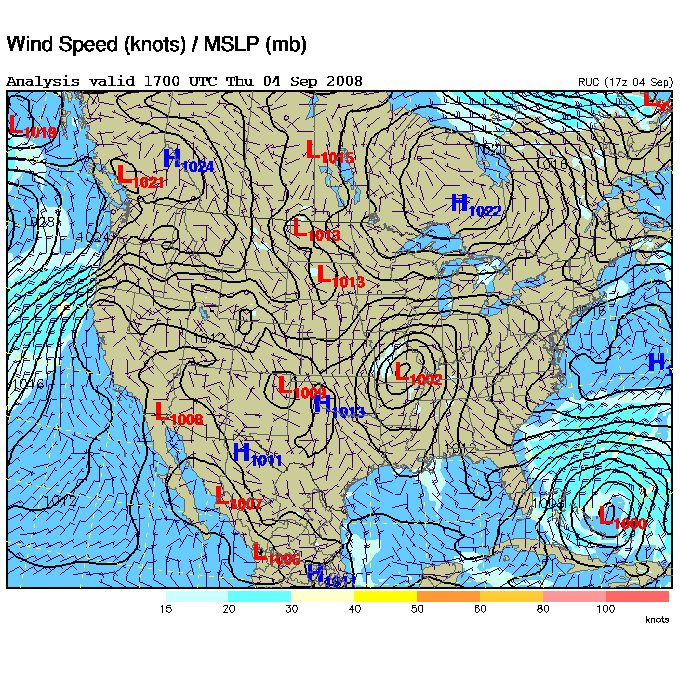
This surface map around noon today clearly shows the low pressure area that was formally Gustav. Finally, he is not causing so much of a ruckus. He has sure wet down a large area.
The severe weather threat has shifted northward with the guy. For the remainder of this afternoon and tonight, the Storm Prediction Center (SPC) has only the SE half of Illinois and about the west half of Indiana under a slight risk.
These storm total rain amounts can be charged to Gustav:
20.00 inches at Franklin, La.
19.19 Grand Isle, La.
12.40 near Chatham, Miss.
11.09 Greenville, Miss.
11.15 Hamburg, Ark.
11.42 Alley Spring, Mo.
QUERY FOR INFORMATION
At some point during the drama of Gustav, I heard a report that 6 or 7 people had decided to tough it out at Grand Isle, La., and that the small border community had suffered a complete washover. Anyone have any information as to what happened with those people?
Here is the map….