


I don’t know. We’ll see. This has already been a fascinating storm, intensifying over land yesterday, and assuming it makes it out into the Atlantic Ocean for a little while before turning west, it will make at least 3 landfalls in the U.S.
Here are loops from several 00 UTC models of sea-level pressure, each starting at 7 am today, at 12 hour intervals. Lots of scenarios. Interesting that the NAM and GFS both take this storm into the Gulf, as does the NOGAPS (barely) and the UKMET. The CMC and the GFDL keep the system out of the Gulf, but still bring it toward Alabama by the weekend, meaning the potential for lots of rainfall. It should be noted that the HWRF (not shown) also keeps the storm out of the Gulf.
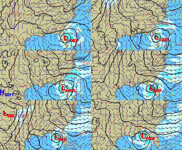
NAM
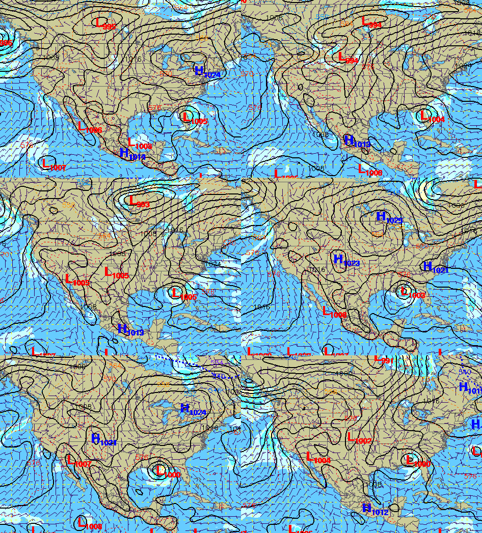
GFS
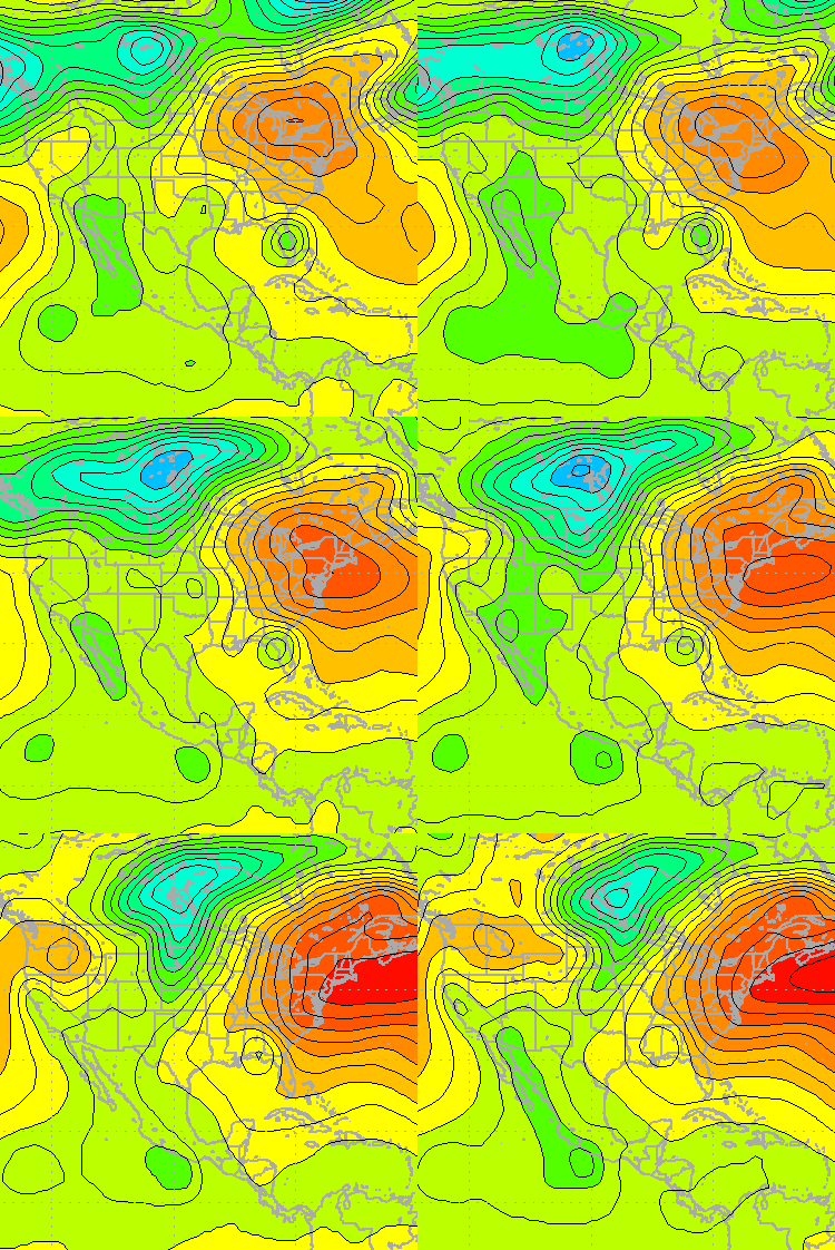
NOGAPS
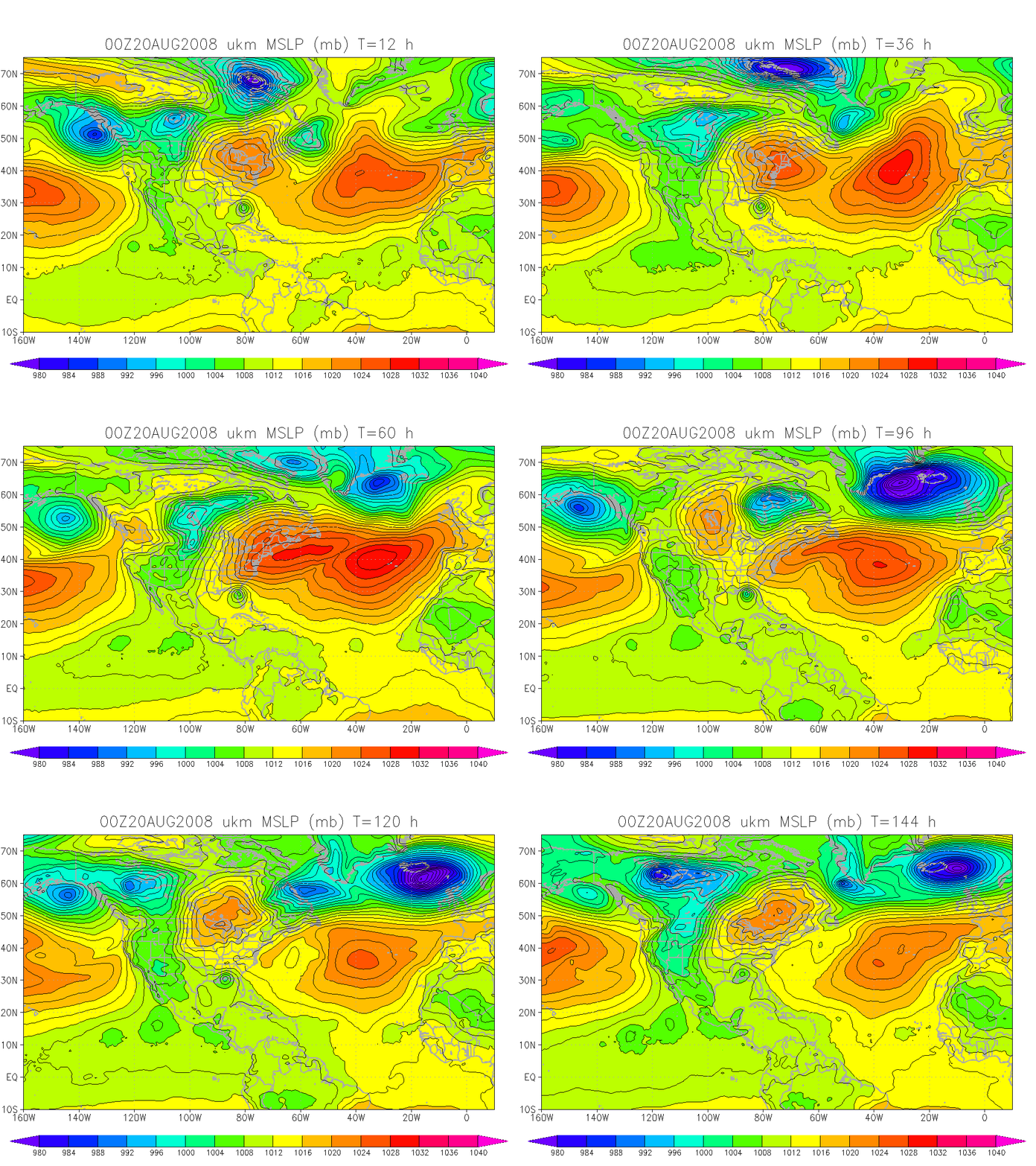
UKMET
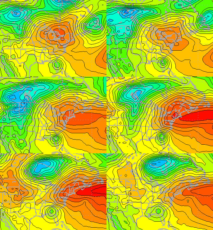
CMC
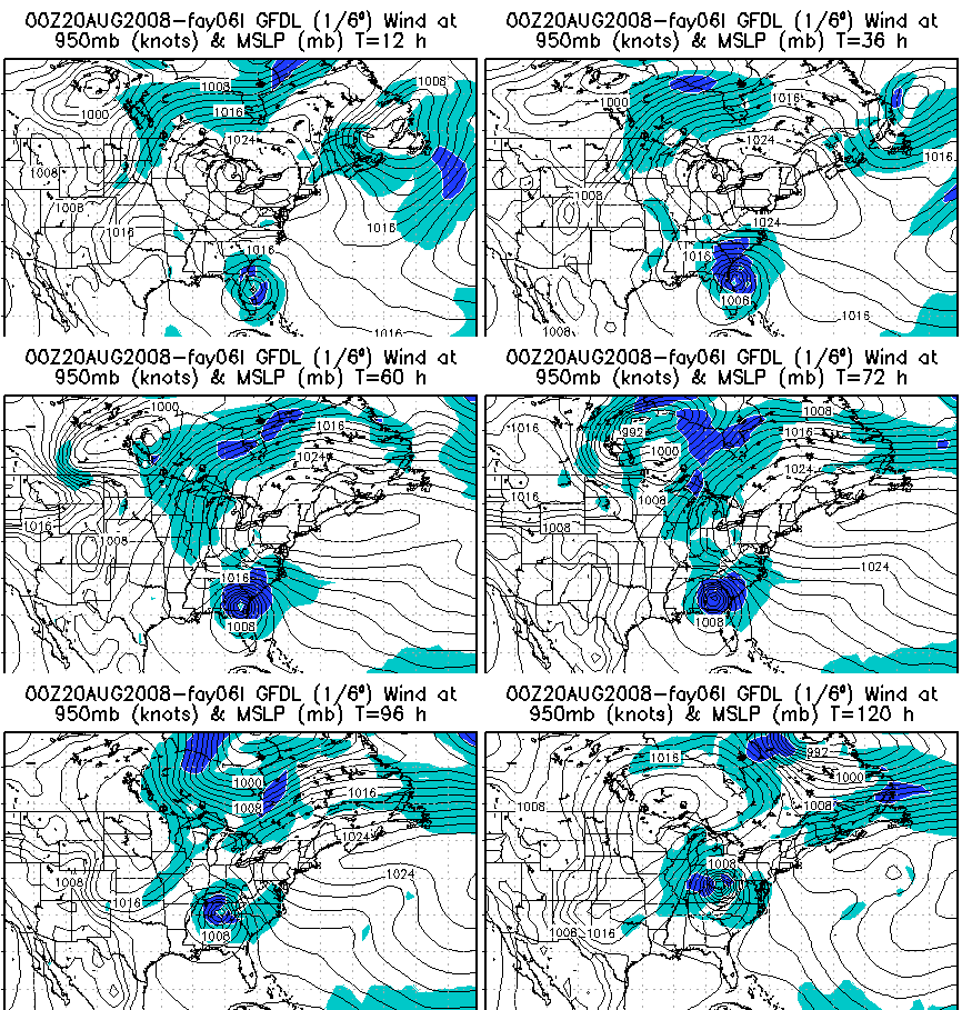
GFDL
With the storm staying close to land on most of the models, it wouldn’t seem likely that, even if it gets into the Gulf, it would become a major hurricane. However, there is still a lot of uncertainty, and interests along the entire Gulf Coast should watch this system. Most of the scenarios presented by the models should also bring some rain to Alabama, but when, where, and how much are all difficult to say.



