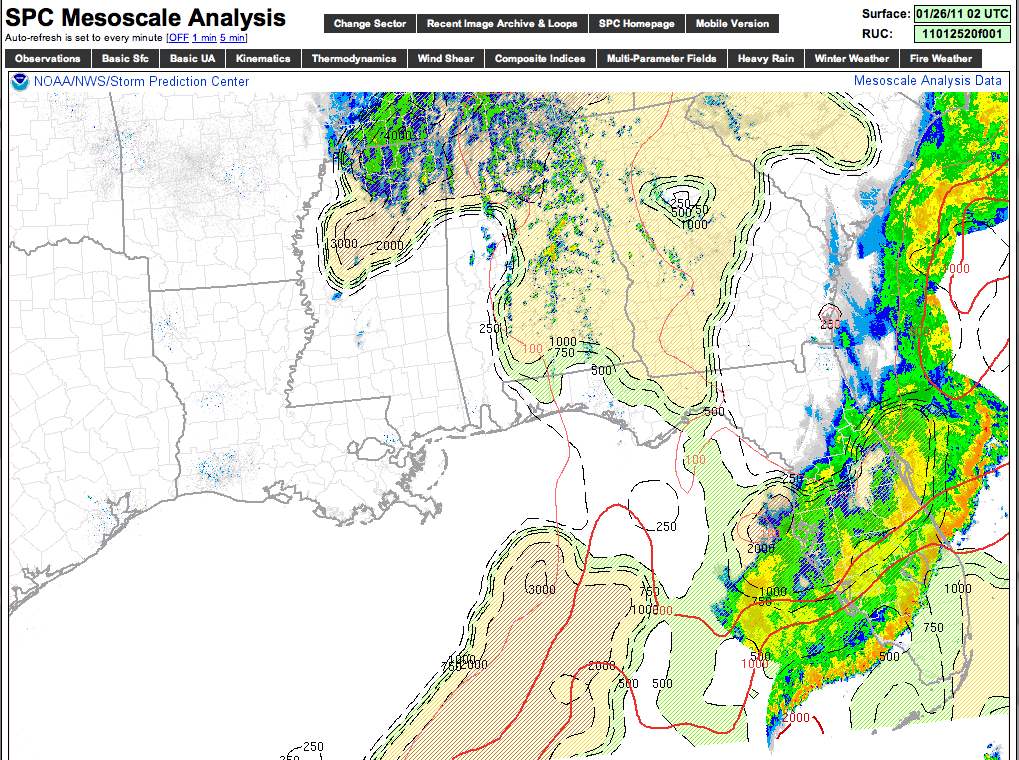
Interesting to note that we are seeing signs of thunderstorm development over parts of Alabama as dynamic support improves from the approaching upper trough. You can see a degree of positive MUCAPE over the eastern two-thirds of Alabama. These storms, of course, are elevated, but a sign that upward velocity is increasing. We also note some lighting showing up now on the LDN over East Alabama…
Our friends at NESDIS have a nice image of the current situation below…
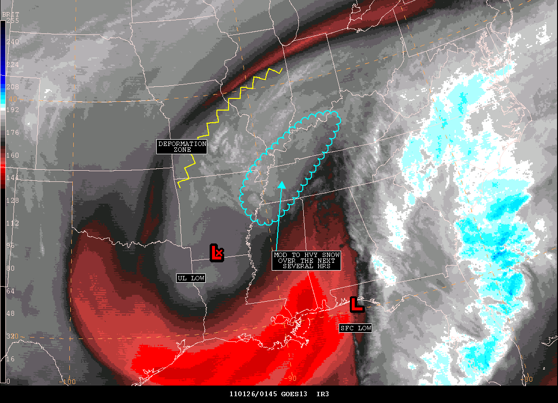
As the deformation axis moves on to the east, the heavy snow band will move east, covering the Tennessee Valley of North Alabama, through Tennessee and into Kentucky after midnight. The 00Z RPM confirms our ongoing forecast is in pretty good shape, although we will continue to watch for overnight surprises.
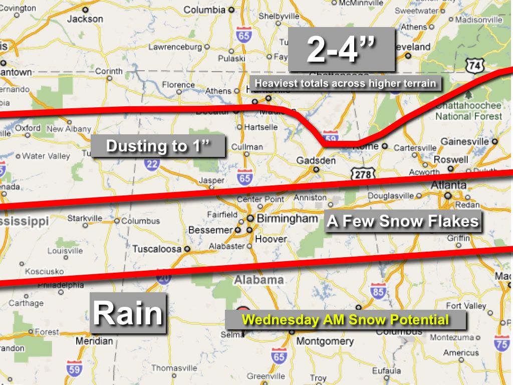
As stated here over the past 48 hours… we don’t expect any widespread travel issues over North-Central Alabama, even though some spots could see a little accumulating snow on grassy areas. The best snow accumulation will be up over far North Alabama, near the Tennessee border and across high terrain of Northeast Alabama….