Here is a quick peek at the new 03Z run of the RPM, valid at 6:00 a.m. CST tomorrow…

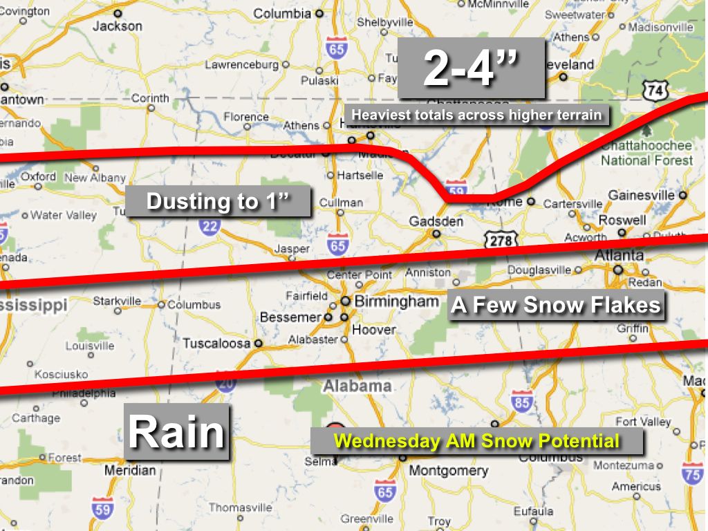
Pretty much on target with the ongoing forecast below. Look for snow to increase on radar during the next 4-5 hours with strong positive vorticity advection over Alabama. Once again, we do not expect any travel issues over most of Alabama, with the best chance of significant accumulation way up north, near the Tennessee border, and across higher terrain of Northeast Alabama.
Look for a full discussion and the next Weather Xtreme video here shortly after 6:00…