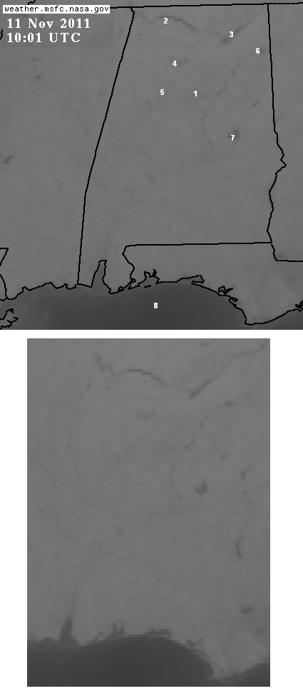
Check out the above infrared satellite imagery from 1000 GMT (4:00 am CST) this morning. Infrared imagery detects the temperature of the first object it can “see” from space. These images are normally used to see clouds at night, since they show up much colder because they are high in the atmosphere. But, on a clear night like last night, the different temperatures of the land surface show up well. Warmer temperatures are darker.
The top picture has the map on it, and numbers. You can see the BHM Metro heat island (1), Wheeler (2), Guntersville (3), Smith (4) Lakes (water temps near 60), same with the Warrior River (5), Weiss (6), and Lake Martin (7). Notice the warm Gulf of Mexico (8).
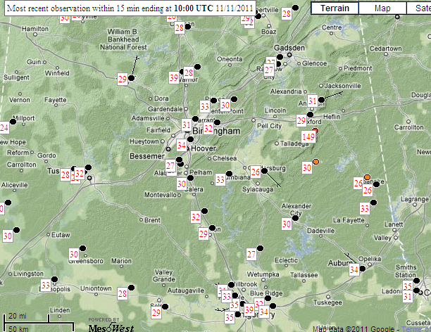
It is more interesting to me to look at it without a map (bottom picture). You can still pick out the coastline of Alabama and NW Florida, including Mobile Bay and the Bays along the Florida panhandle, by their warmer color. Below is a temperature plot from 1000 GMT.