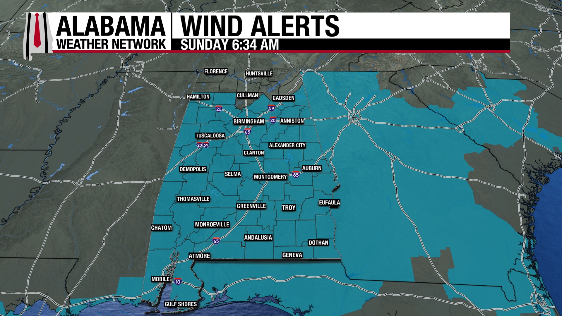
*We do not expect any travel issues tomorrow morning for much of Alabama… for most of the state there has been no snow accumulation, and dewpoints will drop into the single digits tonight, meaning the air is very dry and that will evaporate any leftover moisture from last night’s rain.
*The possible exception… high terrain across Northeast Alabama, where they saw a dusting of snow today. There could be a few icy spots across mountainous areas of Jackson and DeKalb Counties. Even here we won’t expect any widespread travel issues.
*We stay below freezing all day tomorrow with wind chill index values in the teens much of the day.
*Tuesday morning will be the coldest morning; most places will wind up in the 12-17 degree range, with colder pockets reaching the single digits.
*There is some concern over overrunning Wednesday morning. This means warm, moist air running over a shallow layer of cold air near the surface. Some freezing rain (liquid that falls when surface temperatures are below freezing) is possible over North Alabama Wednesday morning, and we will be able to be much more specific about that threat by tomorrow.