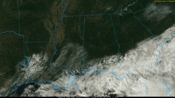
WARM/DRY: Alabama’s weather will stay dry through Thursday with mostly sunny warm afternoons and clear pleasant nights. A few showers could show up Friday near the coast, but the rest of the state will stay warm and dry. Some spots across West Alabama will see highs in the low 90s.
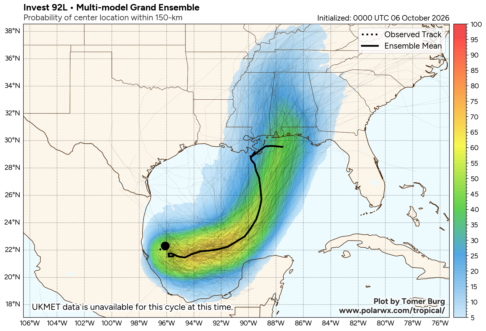
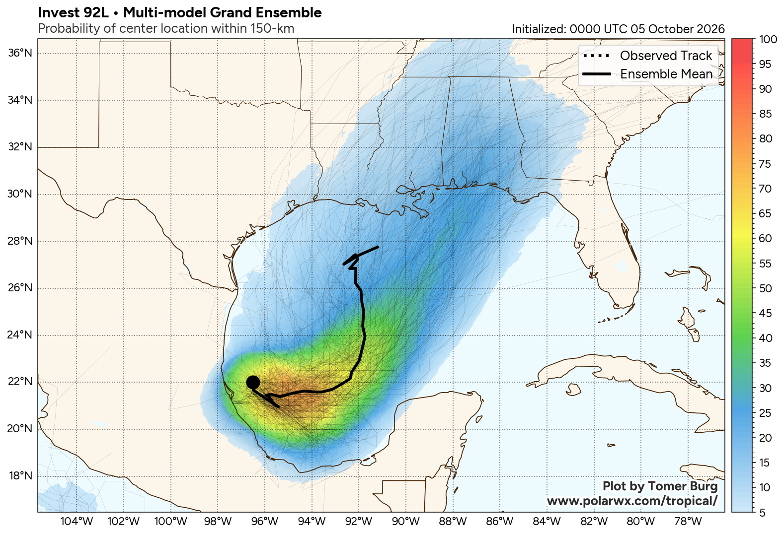
TROPICS/THE WEEKEND: Satellite images and surface observations indicate that showers and thunderstorms are becoming better organized while surface pressures are gradually falling around Invest 92L in the Southwest Gulf. NHC gives the system a 100 percent chance of development.
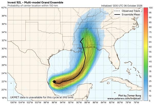
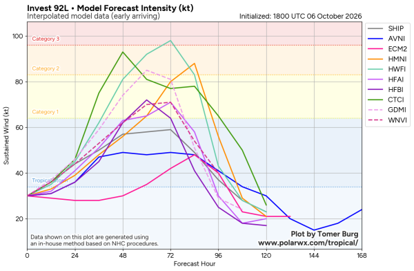
Here are my key messages…
*Most reliable models and their ensemble members bring the system to the Central Gulf Coast anywhere from Fort Morgan to Navarre Beach Saturday or Saturday night. Intensity guidance continues to be more aggressive, and odds are increasing that this will be a hurricane at the time of landfall. The name will be Isaias.
*Those on the Gulf Coast from Bay St Louis, Mississippi to 30A in Florida (Seagrove Beach, Rosemary Beach, Sunnyside, etc) need to think about hurricane preparations. Be ready to put your plan into action if you are placed in a hurricane warning later this week. This includes all of the Alabama coast.
*The system will encounter stronger winds aloft/shear near the coast; this should prevent rapid intensification.
*At the moment it looks like Saturday will be a very wet and potentially a very windy day for much of Alabama. Flooding will be a concern, and there could be a few isolated tornadoes. SPC has already defined a risk of isolated tornadoes over parts of South Alabama on the day five outlook.
*But if the system slows down as it approaches the coast the main impact could hold off until late Saturday night and Sunday. A few global models show this solution. But most ensemble members suggest our main impact in Alabama will be Saturday, Saturday night, and Sunday morning.
*Isaias will most likely be a high impact event for the Gulf Coast and the state of Alabama, but it is important to note that it is still too early for a specific impact forecast for any place (rain totals, peak wind gusts, etc). Once the system develops a good low level circulation, and we get dropsonde data from hurricane hunter aircraft (the NOAA Gulfstream jet is in the area now), forecast confidence will ramp up.
*There are many big events going on, including the National Shrimp Festival in Gulf Shores, the Alabama/Georgia football game in Tuscaloosa, and the Zach Bryan concert in Auburn. For organizers and those in charge of these events, I would hold off on making any decisions until tomorrow when forecast confidence is higher. We can begin producing impact forecasts for specific places tomorrow, and NHC will likely initiate advisories very soon.
*As always, when it comes to tropical systems, if you are using old information, you are using that information. Be watching for frequent updates here over the next few days.
The weather trends drier Sunday as the circulation moves away from Alabama.
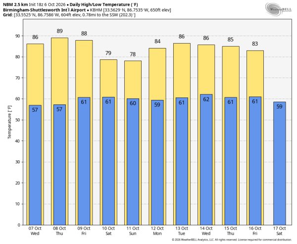
NEXT WEEK: The weather looks dry with warm afternoons; highs will be in the 80s. See the video briefing for maps, graphics, and more details.
ON THIS DATE IN 2016: The center of Category 4 Hurricane Matthew passed within 100 miles of Miami. The storm then paralleled the coast of the southeastern United States over the next 36 hours, gradually weakening while remaining just offshore before making its fourth and final landfall over the Cape Romain National Wildlife Refuge near McClellanville, South Carolina as a Category 1 hurricane on the morning of October 8.
Look for the next video briefing here by 6:00 a.m. tomorrow…