Another day today when Trussville got heavy rain, but the airport has been fairly dry so far. 0.75″ today, bringing our total since last Friday to 3.5″.
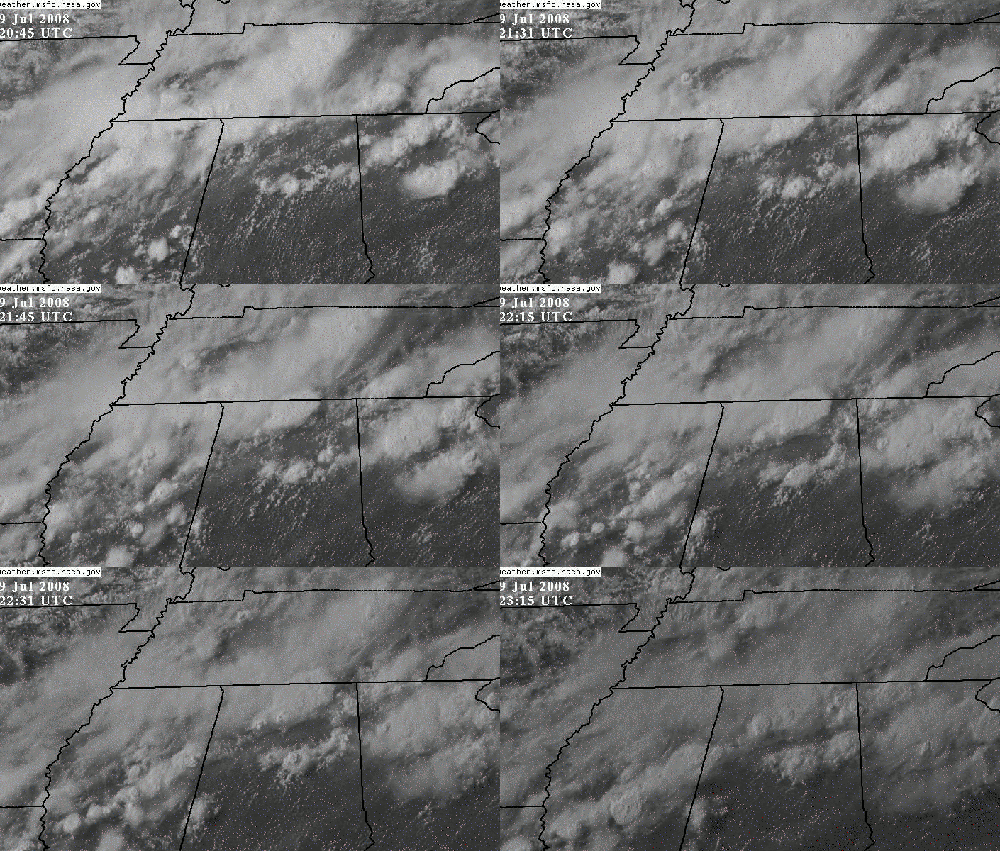
These storms look neat on the high-resolution visible satellite. Notice how the storm east of BHM kind of billows up in the middle around 2230 UTC (530 pm), when radar indicated its top was near 55,000 feet. Many of the storms are casting shadows by the last image at 2315 UTC, since the sun is getting lower in the sky but these storms are tall.
Looking at the NASA North Alabama Lightning Mapping Array, one can see the intense lightning activity that has occurred in eastern Jefferson County, and the cross-section through the lightning shows that some lightning signatures are being received from as high as 20 km (over 60,000 feet).
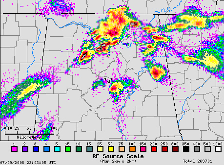
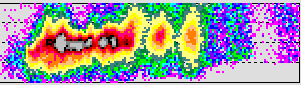
(Courtesy NASA Huntsville)