
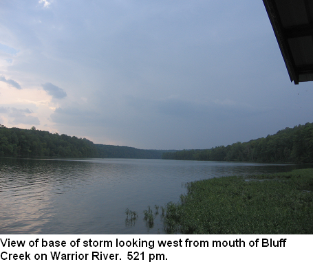
During a quick trip to the Warrior River, right along the Walker/Jefferson County line yesterday, I was able to photograph some rare and beautiful clouds associated with thunderstorms to my west between 500 and 530 pm.
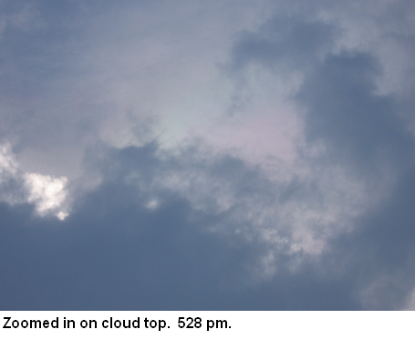
The first picture (the one at the top, 506 pm) may be the most fascinating because it may combine two rare cloud types in one. A pileus cloud, sometimes known as a “veil”, forms when a thunderstorm is rapidly growing with a strong updraft, and the updraft actually pushes some of the air above it upward, causing cooling and condensation (see example below, copyright Roger Edwards). However, the pileus clouds above were also iridescent. Iridescence occurs when cloud droplets are very near the elevation angle of the sun (as they are here), and are in the right size range, and sunlight gets diffracted, or bent around them. Different wavelengths/colors are diffracted different amounts, and this produces the colors we see in the clouds. See below, copyright Brian Thalken.

(L) USRA, (R) Beth Kinsey
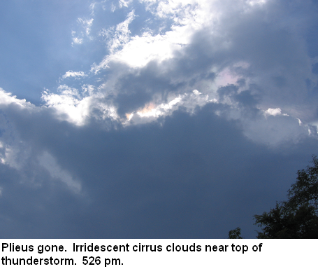
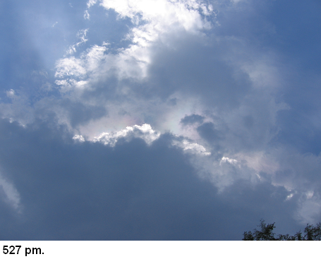
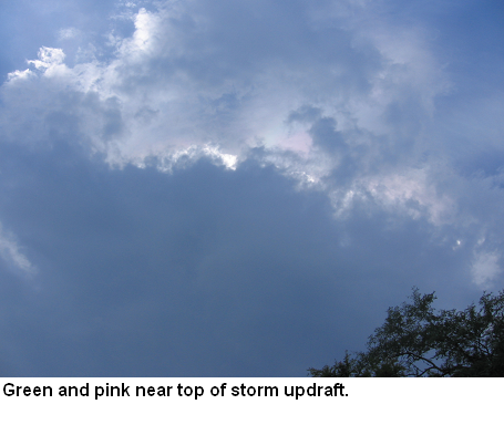
Below are some more pictures of the irridescent clouds after the pileus seemed to break up. I apologize for the size of this blog post..my gif animator wouldn’t do these justice.

Wow.