As JB and Brian point out, there is a very strong cold front in Texas this afternoon. An old friend of mine is trying to storm chase down there right now, and I’m helping him with radar, etc. This guy left his house in Austin not long ago with a temp of 46, and is approaching I-10 where it is near 70.
Nothing significant has developed in the warm air. As Brian points out, there is a strong cap. However, if that cap can be broken, storms will develop very rapidly down there, as the atmosphere is very unstable otherwise.
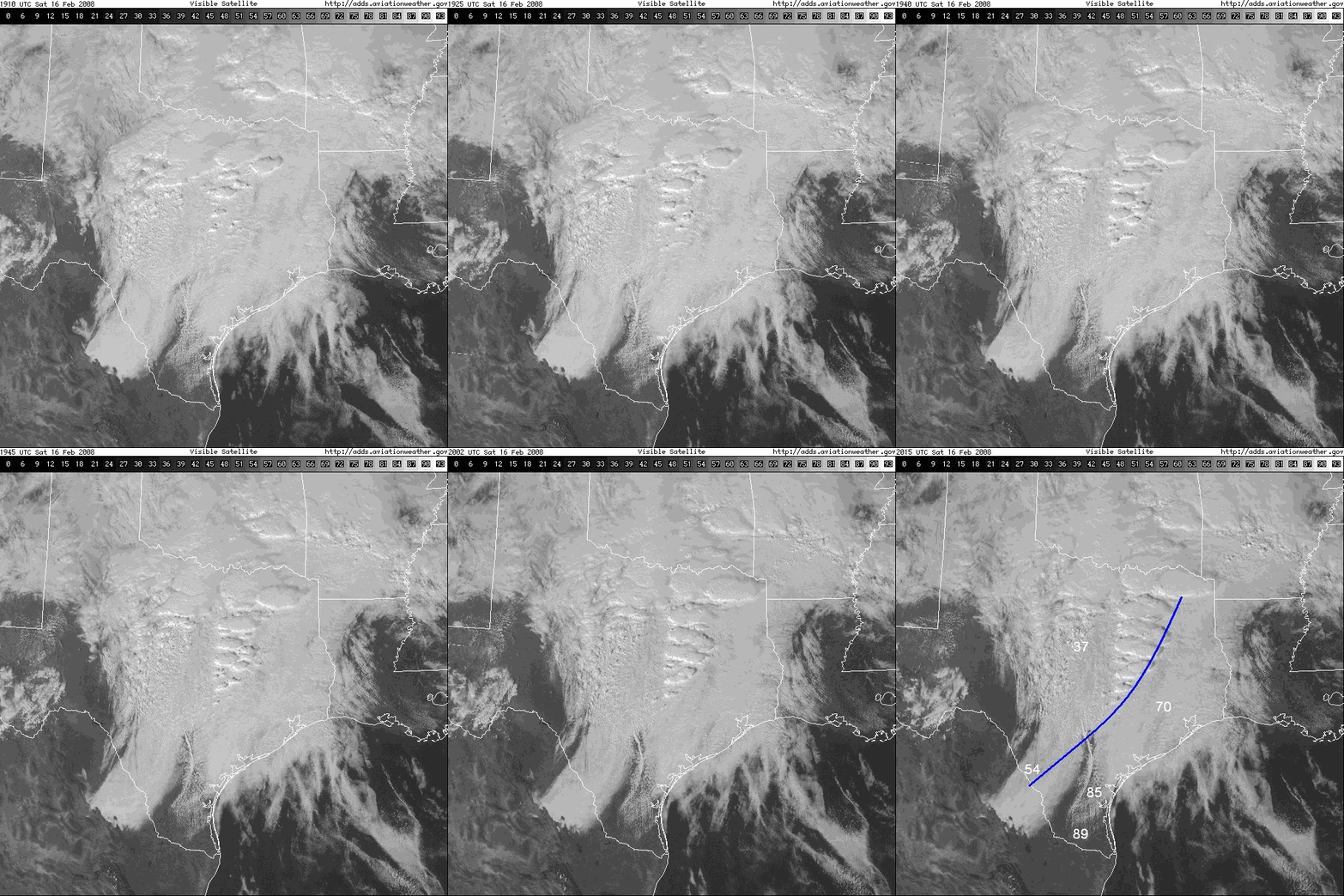
The storms so far are in the cold air, where overrunning is providing lift above the cap. With the air being so stable in the cold air, the storms are forming in waves, tied to gravity waves. Take a look at the rapid-scan (they are taking satellite pictures every 5-10 minutes) satellite loop from Texas. Neat waves. The last picture shows the location of the cold front and a few surface temperatures.
We’ll have more updates on tomorrow’s severe weather threat in Alabama soon.