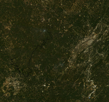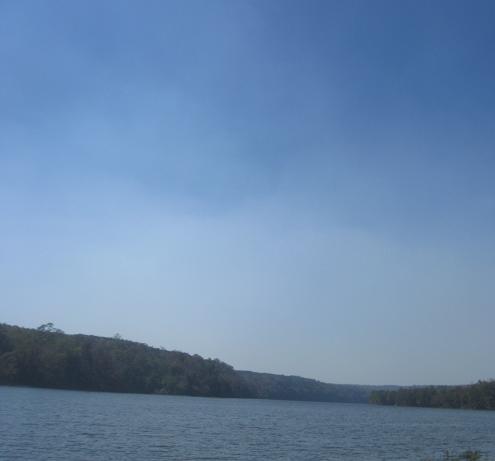
Yesterday afternoon, there was a rather large fire about 3 miles NW of our cabin on The Warrior River. The wind, for a while, blew the smoke SE towards us (for asthma reasons, we had to put on allergy masks just to get ready to leave). The above picture shows the pall of smoke over the river, looking almost due west. The MODIS satellite image below (250 m resolution, taken twice a day) actually shows the fire and the river at 1735 GMT (1235 pm CDT), so the smoke was even thicker to my NW (as shown in the picture).
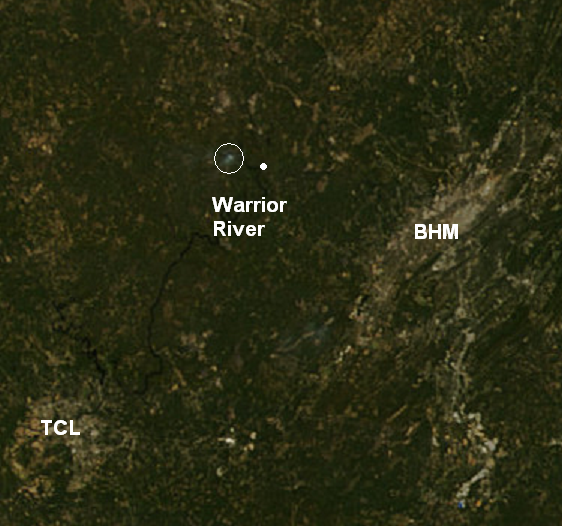
Please don’t burn outdoors during dry conditions like this! Whatever it is, you can throw it away or wait and burn it later in the fall when the rain comes. And, if there is a no-burn notice in effect, they can now use satellite to locate fires from space.