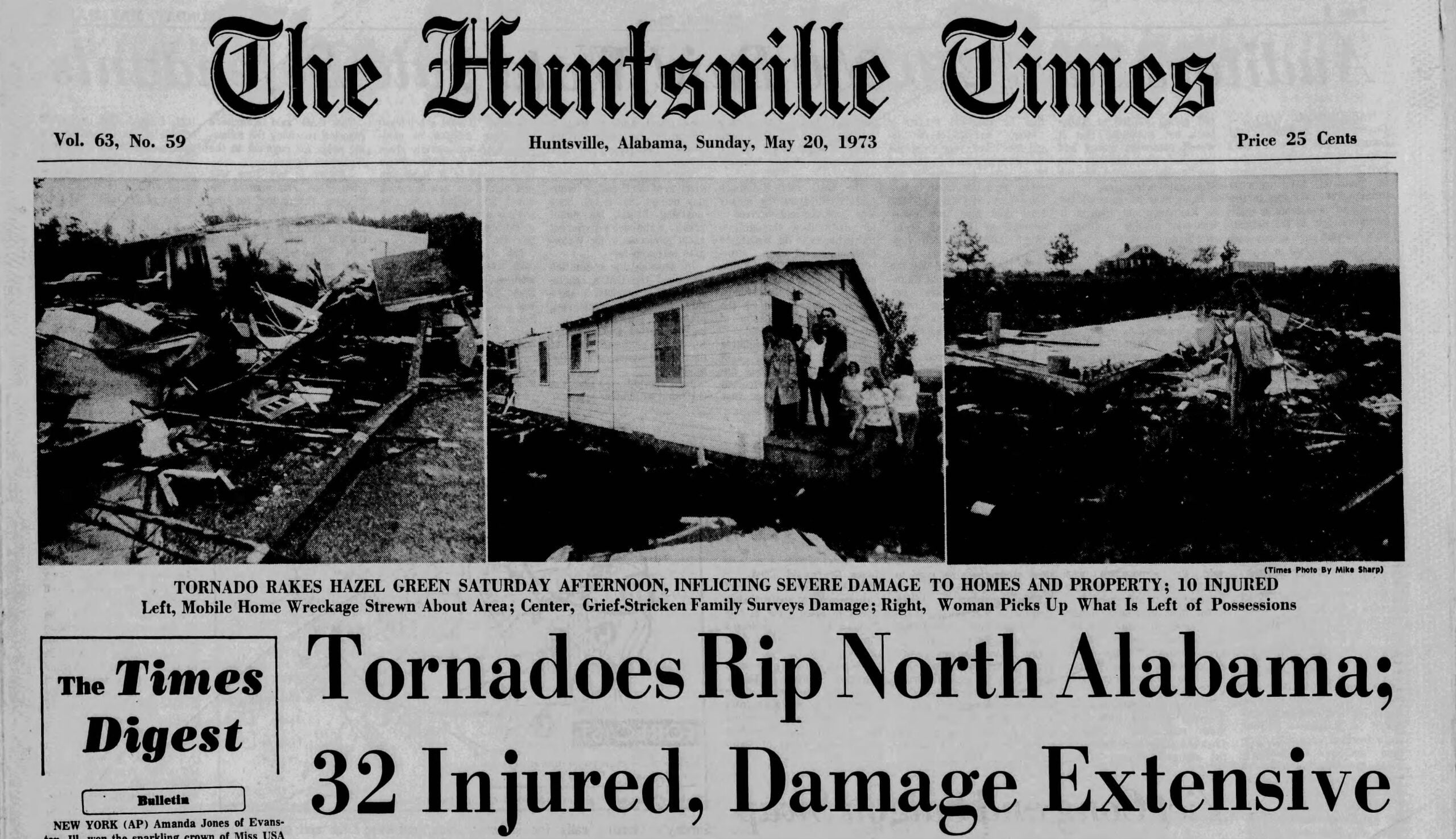
….TORNADO WATCH NORTHWEST ALABAMA UNTIL 400 PM CDT…
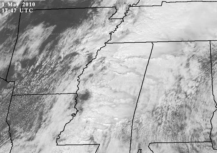
Take a look at the gravity waves moving through the clouds in Mississippi. For an animation, go to https://www.rap.ucar.edu/weather/satellite/displaySat.php?region=MGM&itype=vis&size=large&endDate=20100501&endTime=-1&duration=4.
These waves may be caused by wind shear, that has a maximum in MS near the waves.
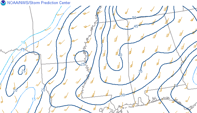
0-1 km wind shear (knots)
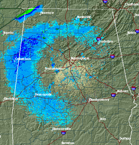
There have also been some interesting circles of light return forming around area radars lately. They appear after sunrise, and seem to be at a fairly constant altitude. Since they show up on most radars from SE Texas through LA, AR, MS, and AL, but not further east, these may be migrating birds, taking off at sunrise.
As far as the severe weather goes, the primary area of severe storms at 125 pm is in NE Mississippi, where tornado warnings are in effect. These storms could affect NW Alabama later this afternoon. Other storms are moving through central MS, and could affect areas as far south as TCL and BHM later. With warm temperatures and high humidity, the air is already unstable over the western half of Alabama, and new storms could develop anytime. With wind shear in place, tornadoes are possible, so keep an eye on the weather this afternoon.